Timothy H. O'Sullivan American, b. Ireland?, 1840-1882
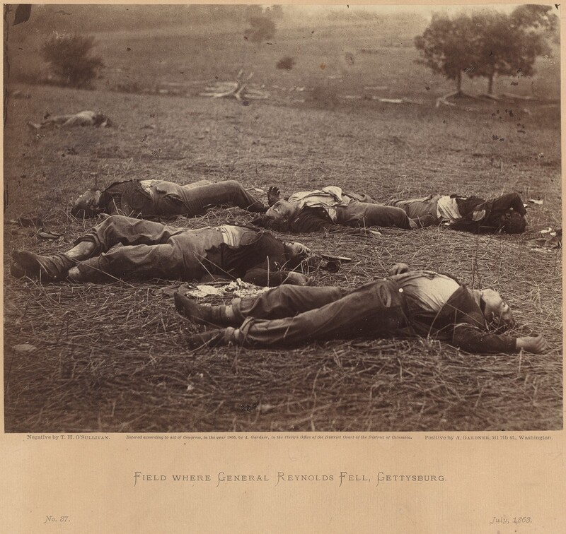
An important photographer of the American Civil War, Timothy O'Sullivan worked first for Mathew Brady, then Alexander Gardner in their Washington, D.C., studios, producing some of the war's best known images. The son of Irish immigrants, whether O'Sullivan was born in New York or Ireland remains unresolved. His photographs appear in Gardner's classic volumes, Photographic Incidents of the War (1863) and Photographic Sketchbook of the War (1866).
After the war's end, O'Sullivan became a photographer for government land surveys, working from 1867-69 for Clarence King's expedition along the 40th parallel in Utah, Nevada, and California. In 1870 he was photographer for Thomas O. Selfridge's survey of the Isthmus of Darien to determine the path of the Panama Canal. That same year he was hired by Lieutenant George M. Wheeler to accompany his military surveys of the land west of the 100th meridian and expeditions to California, Nevada, and Arizona. O'Sullivan returned to work for King in 1872 before joining Wheeler again in 1873. Briefly a partner in the Washington photographic firm of Armstrong and Company, he left in 1880 to become chief photographer for the U.S. Treasury, replacing his friend and colleague Lewis Emory Walker.
Throughout his work, O'Sullivan employed a spare, restrained style that appeals to the modern eye. It is perhaps significant that he remained in the employ of the government on projects in which objectivity was paramount. By contrast, works by his peers often seem influenced by the romanticism implicit in the enterprises, mining, development, and the building of railroads, that they were hired to record. T.W.F.
Works
- Field Where General Reynolds Fell, Gettysburg, July 5, 1863
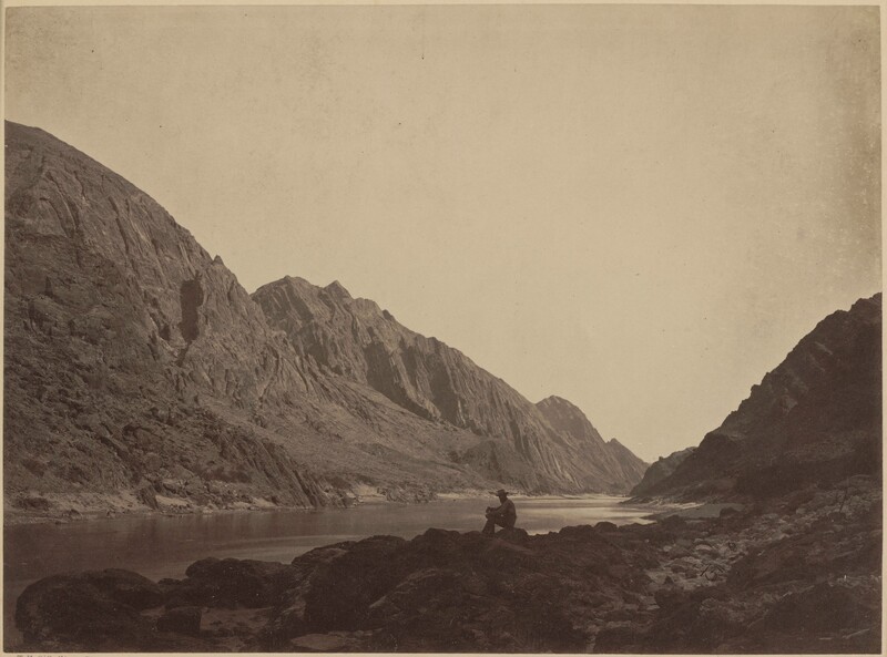
- Iceberg Canyon, Colorado River, Looking Above
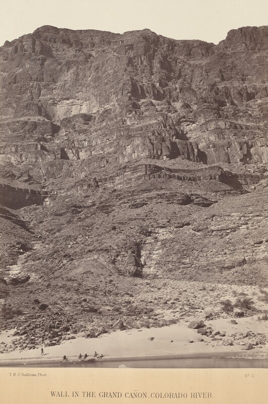
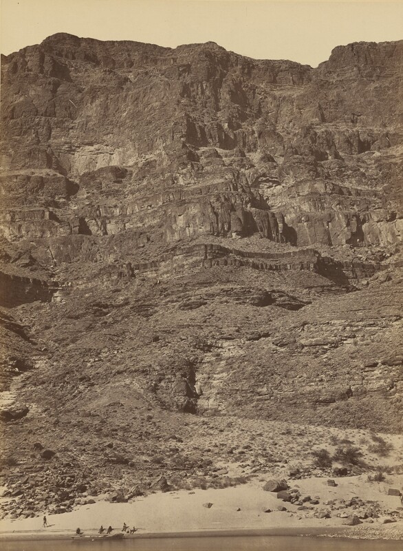
- Wall in the Grand Canyon, Colorado River
- Geographical and Geological Explorations and Surveys West of the 100th Meridian, Seasons of 1871, 1872, and 1873
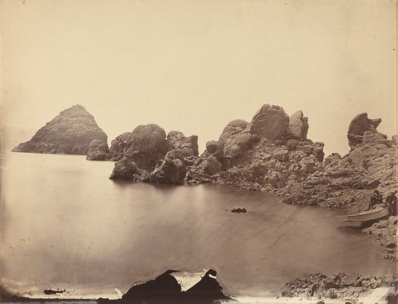
- Tufa Domes, Pyramid Lake, Nevada
- Wall in the Grand Canyon—Colorado River
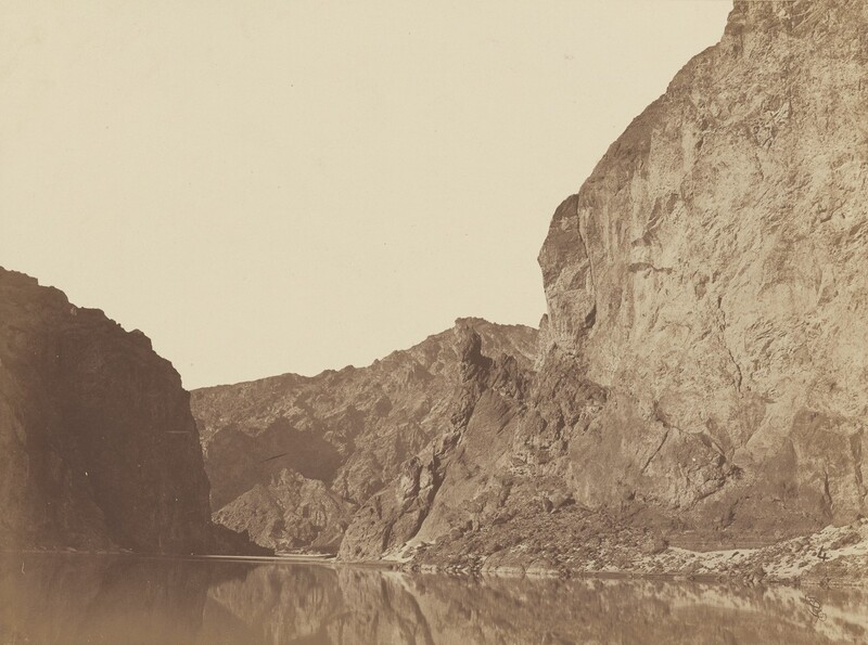
- Black Canyon, Colorado River, Looking Below from Big Horn Camp, #4
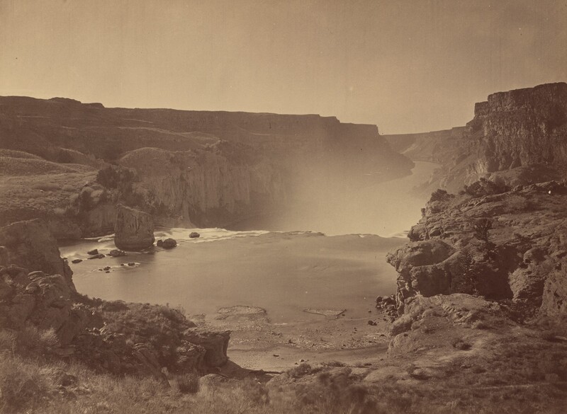
- Shoshone Falls, Snake River, Idaho
- Historic Spanish Record of the Conquest, South Side of Inscription Rock, N.M., No. 3
- Iceberg Canyon, Colorado River Looking Above
- East Humboldt Mountains, Utah
- Sand Dunes, Carson Desert, Nevada